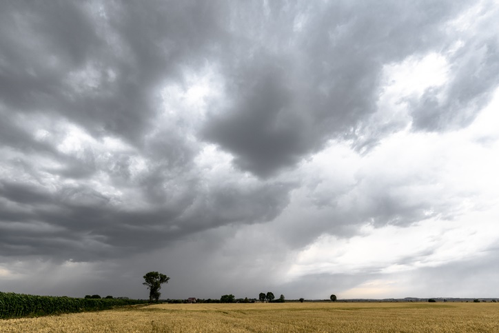
It will be a warm Monday for the northern parts of the country, but cool to cold for the rest, with a cold front approaching the Western Cape, according to the SA Weather Service.
Warning
Extremely high fire danger conditions are expected over the south eastern parts of the Northern Cape, southern parts of the Free State and northern parts of Eastern Cape.
Watches
Gale force SW winds of 65km/h are expected along the coast between Oyster Bay and East London.
High seas with wave heights in excess of 6m are possible between Cape St. Francis and Port Alfred from Monday night.
Special weather advisories
Strong winds are expected in places in the north of Eastern Cape late morning until the evening.
Take a look at the weather for your region:
Gauteng will be partly cloudy and warm. The expected UVB sunburn index is high.
A fine and warm day is on the cards for Mpumalanga, but it will be hot in the Lowveld.
Limpopo will also be fine and warm, but it will be hot over the Limpopo Valley.
And more fine and warm weather is forecast for the North West and the Free State.
The Northern Cape will also be fine and warm. However, it will be cloudy in the morning with fog along the west coast and light rain over the southern parts. It will later become partly cloudy to fine and cool to cold, but fine and warm in the east.
The wind along the coast will be light to moderate north-westerly, becoming south-westerly to southerly in the afternoon, turning to south-easterly later in the evening.
Meanwhile, wet conditions are forecast for the Western Cape. There will be morning rain over the south-western parts. Isolated showers along the extreme south-east, becoming partly cloudy and cool to cold, with light rain over the interior. Isolated showers are also set for the south-western parts, spreading eastwards.
The wind along the coast will be moderate north-westerly, but fresh to strong south-westerly to westerly south of Cape Point spreading north-westerly. The expected UVB sunburn index is high.
The western half of the Eastern Cape will be partly cloudy and warm in the north. Otherwise, it will be cloudy and cool with isolated showers and rain, but scattered along the coast west of St Francis. Strong westerly winds are expected in places over the interior from midday.
The eastern half of the province will be fine, but windy and warm in the west. Otherwise, it will be cloudy and cool with light rain in the south from late afternoon.
The wind along the coast will be fresh to strong south-westerly, reaching near gale force in the south from late afternoon.
KwaZulu-Natal will be fine and warm, but hot in the north-east. It will become partly cloudy to cloudy from the south in the afternoon. Isolated evening showers and thundershowers are expected over the southern half.
The wind along the coast will be moderate north-easterly in the north, otherwise southerly to south-westerly. The expected UVB sunburn index is moderate.

– Compiled by Adiel Ismail
Click here to see the specific forecast for your city over the next few days


457050 344333The the next occasion Someone said a weblog, Hopefully so it doesnt disappoint me approximately this. What im saying is, I know it was my choice to read, but I really thought youd have something fascinating to express. All I hear is often numerous whining about something which you could fix in case you werent too busy looking for attention. 512400
139922 501858Really informative and wonderful complex body part of articles , now thats user pleasant (:. 107938